The Habitat Map Trap: Why One Boundary Can Mislead
A habitat boundary map can hide gradual, uneven transitions. Learn to read the edge as a living zone and make better observations of wildlife.
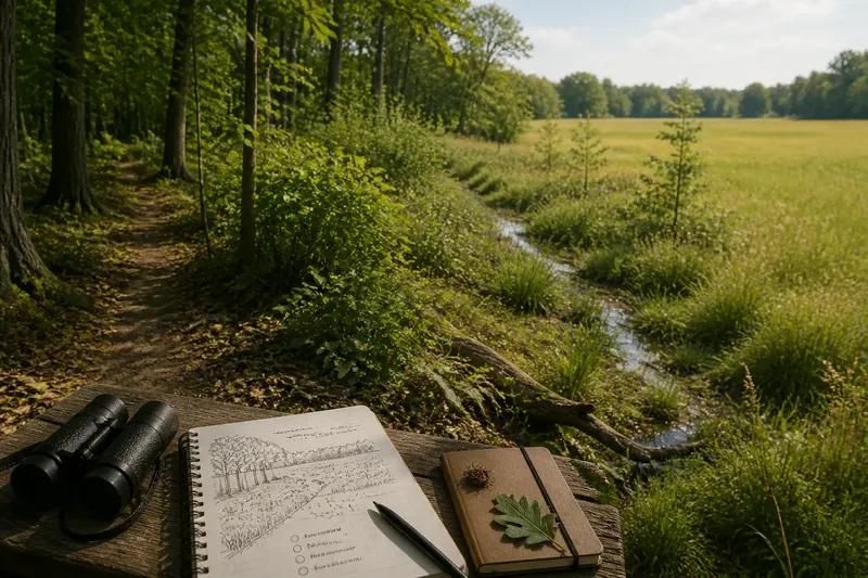
Where does the forest end and the grassland begin? A habitat boundary map may draw one crisp line, but on the ground the answer can shift with a shallow dip, a patch of shrubs, or a stream’s damp margin. Reading that transition as a zone rather than a border helps explain where wildlife moves, feeds, and finds shelter.
Try a simple routine over a week, or spread it across a season if visits are limited. The goal is not to redraw an official map from a few observations. It is to notice what changes across the edge, where the change is abrupt, and where habitats blend into one another.
Choose a visible edge
Start with a place where two recognizable environments meet: woodland and field, marsh and dry ground, or a planted park and a stream corridor. Choose a public path or another place where you can observe without entering sensitive cover. A phone map can help you locate the general transition; a paper notebook is often better for recording details without distraction.
Pick a short stretch that you can revisit. Use a bend in the path, a bridge, or a distinct tree as a starting marker, then note the direction you face. You do not need to measure distances. Consistent landmarks and a quick sketch are enough to compare observations later.
Before the first visit, write down what you expect the boundary to look like. Perhaps you imagine a clean line between open grass and trees. That expectation gives you something to check against, rather than an answer to defend.
Days one and two
On the first visit, look for the broad change in vegetation. Note where taller trees become scattered, where low shrubs appear, and whether grasses continue beneath the canopy. Record visible features, not conclusions: “young trees and waist-high plants beside the path” is more useful than “forest edge.” A sketch can show where each feature occurs relative to your landmarks.
On the next visit, look for changes in ground conditions and shelter. Is the soil bare, leafy, wet, or covered with fallen branches? Does a hedge, rock, or bank create a narrow sheltered strip? If the weather has changed, note that too. Recent rain can make a low patch stand out, while a dry spell may make it less obvious.
Keep wildlife observations modest and specific. A bird crossing from trees into open ground is evidence of movement at that moment, not proof that the entire area serves the same purpose for the species. Record what you actually see or hear, along with the setting, and leave uncertain identifications open.
Days three and four
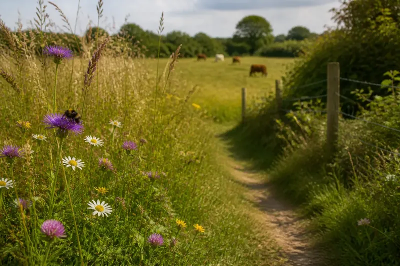
Return with a question about shape: does the transition follow a straight line, or does it bend around a wet hollow, a cluster of shrubs, or a sunny opening? Many edges are uneven because water, soil, light, and disturbance vary across a small area. One habitat may taper gradually into another; elsewhere, a road or wall may create a sharper break.
Now look for overlapping features. A shrub belt may offer cover beside open feeding ground. A damp ditch may carry moisture beyond the visible wetland. Fallen limbs can create shelter in a strip that otherwise looks exposed. These details make the transition ecologically meaningful: animals may use different parts of it for different needs, even when a broad map gives the whole area one label.
Imagine you visit a park where a mown field meets a line of trees. At first, you mark the tree line as the edge. On a later visit, you notice a band of shrubs, a shallow drainage swale, and scattered young trees extending into the field. Your sketch now shows a broad, uneven transition. The observable result is not a newly verified map, but a more accurate record of what is present at the site.
Days five and six
Use these visits to compare conditions rather than simply add more features. If you can, come at a different time of day or after a change in weather. Notice whether shade, wind exposure, or surface moisture varies across the transition. Stay on the path, keep a respectful distance from animals, and avoid moving plants or objects to improve your view.
Ask what might be shaping the edge. A maintained lawn may stop abruptly where mowing ends. A stream may gradually raise soil moisture. A fence may block some movement while leaving gaps for smaller animals. Treat these as possible explanations, not certain causes; a brief visit rarely reveals the full history of a place.
When a feature is hard to interpret, mark it as uncertain. “Possible drainage channel” is better than turning a guess into a fact. If the site has posted habitat information, compare it with your notes, while remembering that broad classifications and on-the-ground conditions serve different purposes.
Day seven and next visits
Review your sketches side by side. Mark the places where the transition seems broad, narrow, interrupted, or unclear. Then note which observations changed between visits. A boundary can shift in appearance with leaf growth, standing water, mowing, or seasonal plant dieback, even when the underlying landform remains much the same.
Use your notes to make a careful conservation choice. If you are sharing observations with a local land manager, describe the specific feature and location rather than announcing that a mapped boundary is wrong. A record of a shrub corridor or wet strip may prompt a useful question about maintenance or access. For a personal visit, the practical choice may be simpler: stay on established paths and avoid trampling cover that animals could be using.
Questions at the edge?
What is an ecotone?
An ecotone is a transition area between ecological communities, such as woodland and grassland. It may be narrow or broad, and its plants and conditions can include elements of both neighboring habitats.
Is a habitat edge always gradual?
No. A cliff, road, seawall, or sharply maintained boundary can create an abrupt change. Even then, small pockets of shade, drainage, or cover may make the edge more varied than a single line suggests.
Why do animals use transition zones?
A transition may place food, shelter, and travel routes close together. Which resources matter depends on the species, season, and local conditions, so an edge should not be assumed to benefit every animal.
How should I mark a boundary on a sketch?
Use a band or several short lines where the change is gradual, and mark abrupt breaks where they occur. Add landmarks and uncertainty notes so another reader can tell what you observed without mistaking your sketch for an official map.
A habitat boundary map is useful for showing broad patterns, but it cannot capture every bend in a living transition. On your next walk, let the edge remain a question for a little longer: record where its character changes, and you may notice the small corridors and pockets that a single line leaves out.